


Since the end of the Cold War, many American thinkers have argued for adapting institutions – intelligence, diplomatic, political – burnished by that conflict to present day challenges. Robert D. Kaplan argues that it’s time to change our maps, too. In the excerpt below from Monsoon: The Indian Ocean and the Future of American Power, he explains why the Indian Ocean region should be the center of our focus and what challenges we may face there.
 Water, unlike land, bears no trace of history, no message really, but the very act of crossing and recrossing it makes this ocean, in the words of Harvard professor of history Sugata Bose, a “symbol of universal humanity.” There are Indian and Chinese, Arab and Persian trading arrangements creating a grand network of cross-oceanic communal ties, brought even closer over the centuries by the monsoon winds and, in the case of the Arabs, Persians, and other Muslim, by the haj pilgrimage. This is a truly global ocean, its shores home to an agglomeration of peoples of the fast-developing former “third world,” but not to any superpower: unlike the Atlantic and Pacific. Here is the most useful quarter of the earth to contemplate, pace Fareed Zakaria, a “post-American” world in the wake of the Cold War and the conflicts in Afghanistan and Iraq. Rudyard Kipling’s turn of phrase “east of Suez” – from the 1890 poem “Mandalay,” which begins in Moulmein in Burma, on the Bay of Bengal – applies more than ever, though few may realize it.
Cold War military maps highlighted the Arctic, owing to the geography of the Soviet Union and its principal ports. Former president George W. Bush’s so-called war on terrorism underscored the Greater Middle East. But the geopolitical map of the world keeps evolving. The arc of crisis is everywhere: a warming Arctic could even become a zone of contention. Because the entire globe is simply too general an instrument to focus on, thus it helps to have a specific cartographic image in mind that includes the majority of world trouble spots, while at the same time focusing on the nexus of terrorism, energy flows, and environmental emergencies such as the 2004 tsunami. Just as phrases matter for good or for bad – “the Cold War,” “the clash of civilizations” – so do maps. The right map provides a spatial view of world politics that can deduce future trends. Although developments in finance and technology encourage global thinking, we are still at the mercy of geography, as the artificiality of Iraq and Pakistan attest.
Americans, in particular, are barely aware of the Indian Ocean, concentrated as they are, because of their own geography, on the Atlantic and the Pacific. World War II and the Cold War confirmed this bias, with Nazi Germany, Imperial Japan, the Soviet Union, Korea, and Communist China all with Atlantic or Pacific orientations. This bias is embedded in mapping conventions: Mercator projections tend to place the Western Hemisphere in the middle, so the Indian Ocean is often split up at the far edges of the map. Yet, it is this ocean to which Marco Polo devoted almost an entire book of his travels near the end of the thirteenth century, from Java and Sumatra to Aden and Dhofar. Herein lies the entire arc of Islam, from the eastern fringe of the Sahara Desert to the Indonesian archipelago; thus it follows that the struggle against terrorism and anarchy (which includes piracy) focuses broadly on these tropical waters, between the Suez Canal and Southeast Asia. The Indian Ocean littoral, which takes in Somalia, Yemen, Saudi Arabia, Iraq, Iran, and Pakistan, constitutes a veritable networking map of al-Qaeda, as well as one of the disparate groups smuggling hashish and other contraband. Indeed, Iran has supplied Hamas by a sea route from the Persian Gulf to Sudan, and then overland through Egypt.
Here, too, are the principal oil shipping lanes, as well as the main navigational choke points of world commerce – the Straits of Bab el Mandeb, Hormuz, and Malacca. Forty percent of seaborne crude oil passes through the Strait of Hormuz at one end of the ocean, and 50 percent of the world’s merchant fleet capacity is hosted at the Strait of Malacca, at the other end, making the Indian Ocean the globe’s busiest and most important interstate.
Throughout history, sea routes have been more important than land ones, writes Tufts University scholar Felipe Fernandez-Armesto, because thy carry more goods more economically. The sea silk route from Venice to Japan across the Indian Ocean in the medieval and early modern centuries was as important as the silk route proper across Central Asia. “Whoever is lord of Malacca has his hands on the throat of Venice,” went the saying. Another proverb had it that if the world were an egg, Hormuz was its yoke.
 Today, despite the jet and information age 90 percent of global commerce and two thirds of all petroleum supplies travel by sea. Globalization relies ultimately on shipping containers, and the Indian Ocean accounts for one half of all the world’s container traffic. Moreover, the Indian Ocean rimland from the Middle East to the Pacific accounts for 70 percent of the traffic of petroleum products for the entire world. Indian Ocean tanker routes between the Persian Gulf and South and East Asia are becoming clogged, as hundreds of millions of Indians and Chinese join the global middle class, necessitating vast consumption of oil. the world’s energy needs will rise by 50 percent by 2030, and almost half of that consumption will come from India and China. India – soon to become the world’s fourth largest energy consumer after the United States, China, and Japan – is dependent on oil for more than 90 percent of its energy needs, and 90 percent of that oil will soon come from the Persian Gulf by way of the Arabian Sea. Indeed, before 2025, India will overtake Japan as the world’s third largest net importer of oil after the United States and China. And as India must satisfy a population that will be the most populous in the world before the middle of this century, its coal imports from Mozambique, in the southwestern Indian Ocean, are set to increase dramatically, adding to the coal that India already imports from Indian Ocean countries such as South Africa, Indonesia, and Australia. In the future, India-bound ships will also be carrying enormous quantities of liquefied natural gas across the western half of the Indian Ocean from southern Africa, even as it continues to import gas from Qatar, Malaysia, and Indonesia. This is how African poverty may be partially assuaged: less by Western foreign aid than by robust trade with the richer areas of the former third world.
Then there is China, whose demand for crude oil doubled between 1995 and 2005, and will double again in the coming decade or two, as it imports 7.3 million barrels of crude daily by 2020 – half of Saudi Arabia’s planned output. More than 85 percent of that China-bound oil will pass across the span of the Indian Ocean through the Strait of Malacca: the reason China is desperate for alternative energy routes to the Pacific, as well as overland ones into China from Central Asia, Pakistan, and Burma. The combined appetites of China, Japan, and South Korea for Persian Gulf oil already make the Strait of Malacca home to half of world oil flows and close to a quarter of global trade.
“No ocean is in need of strategic stability more than the Indian Ocean, which is arguably the most nuclearized of the seven seas,” notes the defense analyst Thomas P.M. Barnett. “Among the nuclear powers whose navies ply this ocean are the United States, the United Kingdom, France, Russia, China, India, Pakistan, and Israel.”
The Indian Ocean is where the rivalry between the United States and China in the Pacific interlocks with the regional rivalry between China and India, and also with America’s fight against Islamic terrorism in the Middle East, which includes America’s attempt to contain Iran. Whenever U.S. Navy warships have bombed Iraq or Afghanistan, they have often done so from the Indian Ocean. The U.S. Air Force guards Iraq and Afghanistan from bases in the Persian Gulf, and from the island of Diego Garcia, smack in the center of the Indian Ocean. Any American strike against Iran – and its aftershocks, regarding the flow of oil – will have an Indian Ocean address. The same with responses to any upheaval in Saudi Arabia; or in the teeming, water-starved tinderbox of Yemen, home to twenty-two million people and eighty million firearms.
Excerpted from Monsoon by Robert D. Kaplan. Copyright © 2010 by Robert D. Kaplan. Excerpted by permission of Random House, a division of Random House, Inc. All rights reserved. No part of this excerpt may be reproduced or reprinted without permission in writing from the publisher.
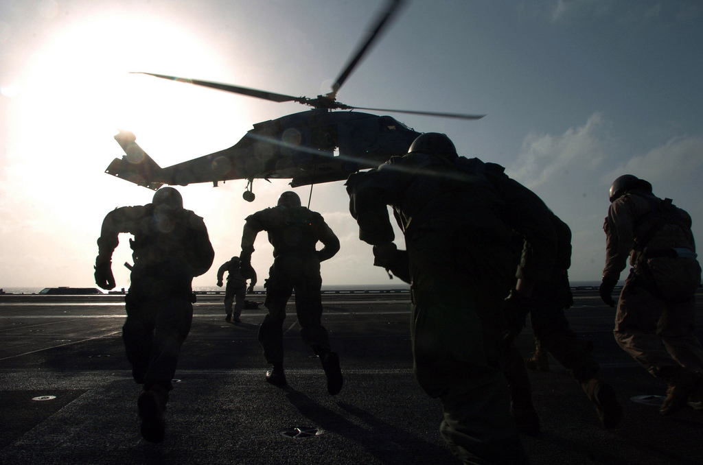
*Photo of Robert Kaplan by Jerry Bauer. Photo of the USS Nimitz in the Indian Ocean by Mass Communication Specialist Seaman Apprentice John Scorza.
Send A Letter To the Editors