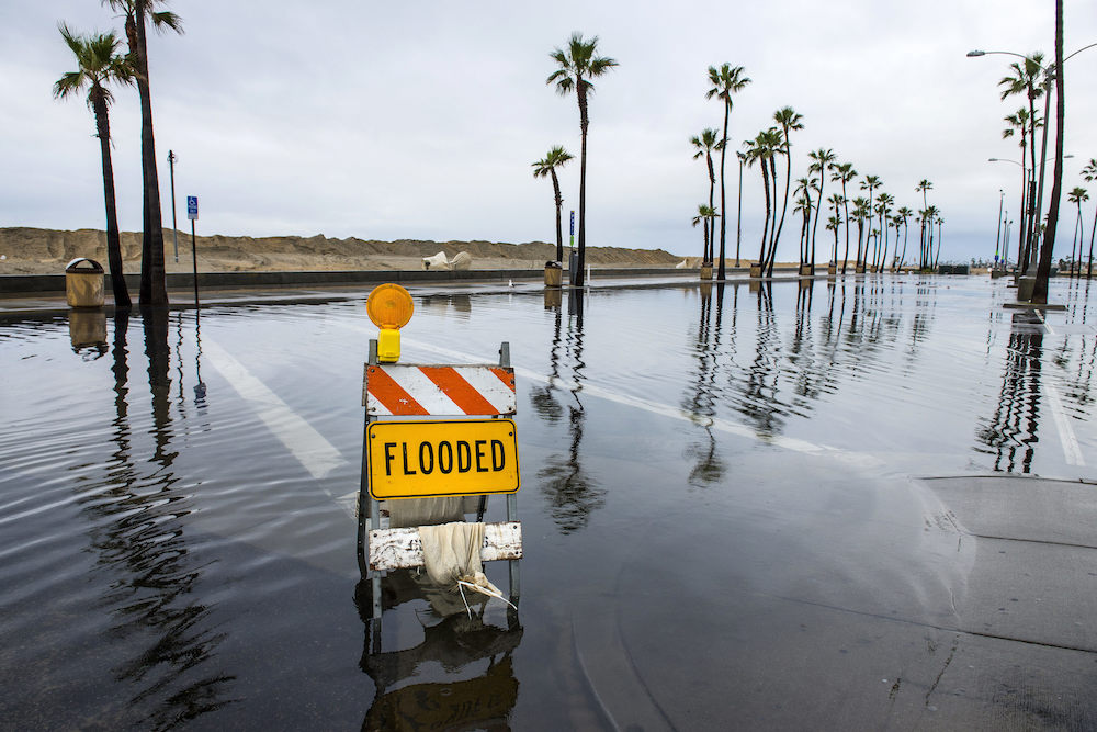
Photo by Mark Rightmire/The Orange County Register. Courtesy of the Associated Press.
If state projections prove right, the sea level along California’s coast will rise 55 inches by the end of this century. That increase, which will be even higher during tidal floods and Pacific storms, would threaten the economies of the coastal counties that 85 percent of Californians call home. And it could spell doom for water sources, major roadways, hazardous waste facilities, military installations, power plants, airports, and seaports. How will this sea level rise change coastal communities, coastal industries from fish to oil, and postcard settings from Big Sur to San Diego? What can be done to mitigate the effects of rising seas and save California treasures? Or will California have to abandon many of its coastal and low-lying areas? Atmospheric physicist and director of the UCLA Center for Climate Science Alex Hall, California Coastal Commission member Effie Turnbull Sanders, and Sean B. Hecht, co-executive director of the Emmett Institute on Climate Change and the Environment at the UCLA School of Law, visit Zócalo to detail the extent to which California could lose its signature coastline.
111 N. Central Ave.
Los Angeles, CA 90012
The Takeaway
Rising Sea Levels Will Leave California With Fewer Beaches—and More Hard Decisions
In the Decades to Come, Some Coastal Homes, Highways, and Ecosystems Will Be Saved, While Others Will Surrender to the Ocean
The Pacific Coast Highway, an iconic symbol of California and vital transportation route, runs along the state’s coastline from Dana Point in Orange County to Leggett in Mendocino County. But …


